Your current sites
- Your plots mapped and checked against the records and maps you already have
- Carbon in trees and soil, and biodiversity, measured on the test site
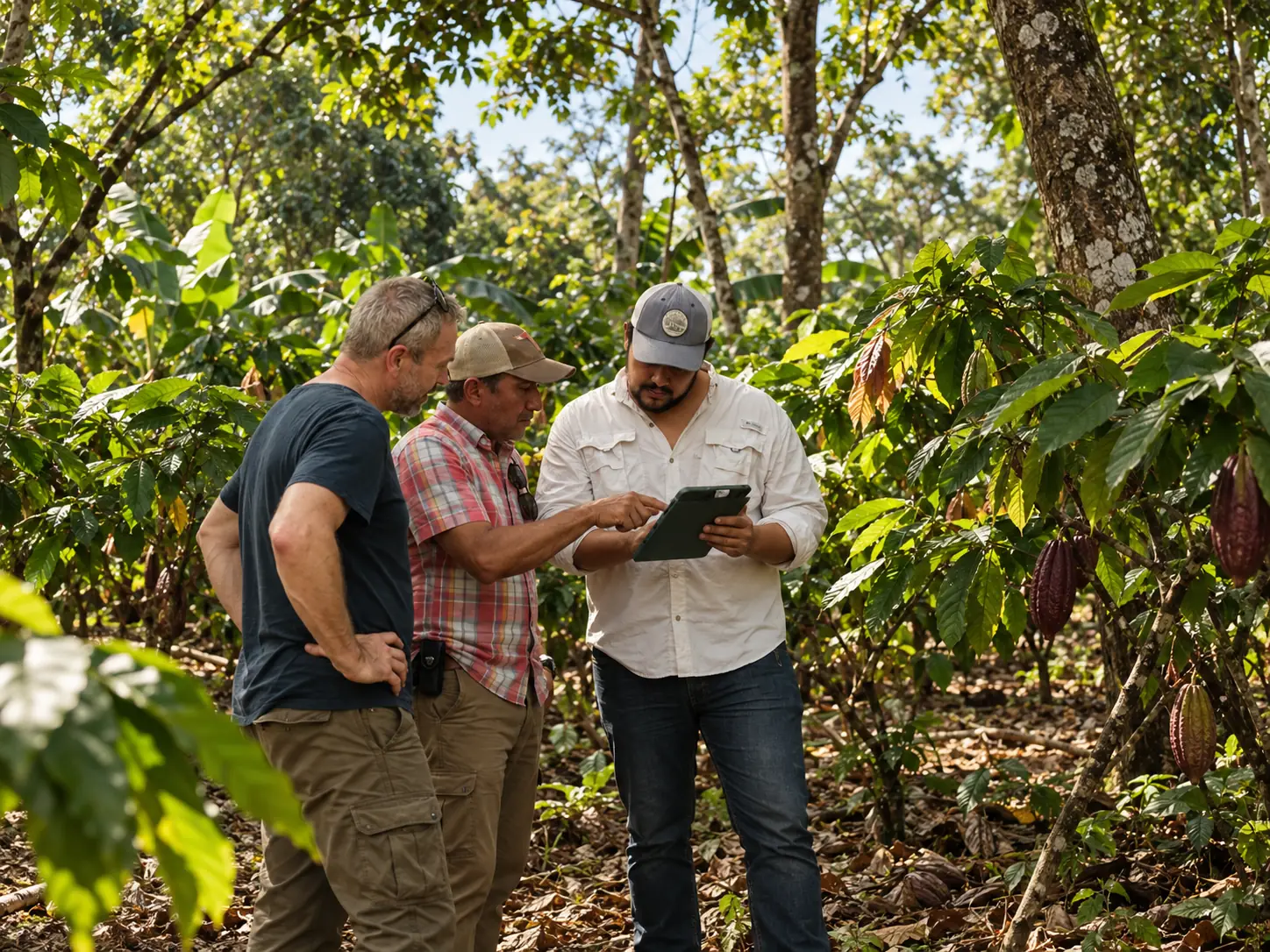
- Field checks of sampled plots
- Forest loss since 31 December 2020, plot outlines and land documents
- The data you already hold, brought together on one map